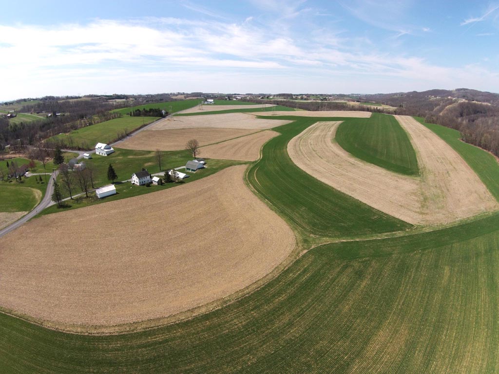
Agricultural
We are seeing farmers monitor their crops in way they never did before. With our UAV fly over, They can quickly monitor pests, disease and weeds as wells as erosion and identify any spacing issues. These are all thing that will increases their yield.
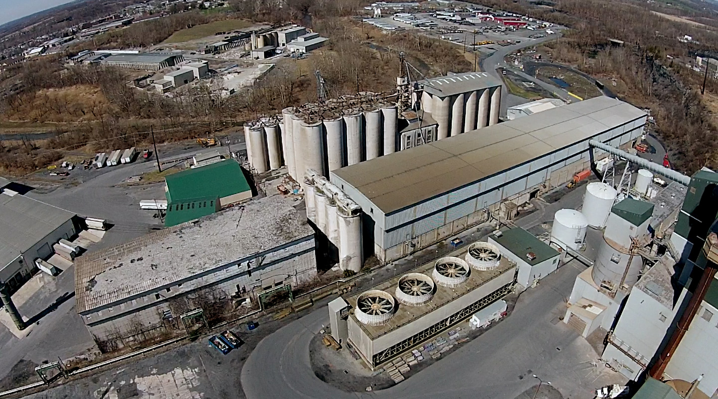
Industrial & Survey
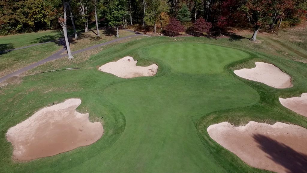
Golf Course Fly-Thru
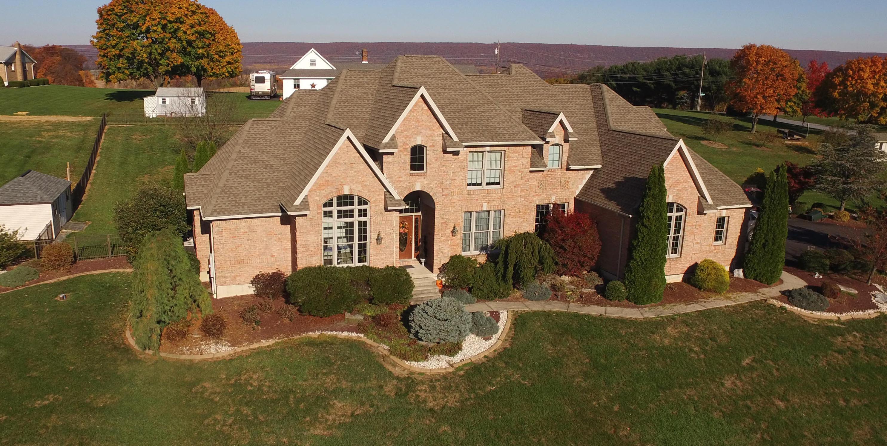
Real Estate Agents
& Developers
Insurance Claim
Verification

PACKAGE - A
Photography & Videography
---------
Real Estate
Real Property
Construction & Development
Infrastructure
Marketing & Advertising
Half and Full Day Rates available
*Video Editing Available
PACKAGE - B
Survey & Mapping
------------
------------
Pointcloud Generation
Point cloud Export (XYZ, LAS, LAZ, PLY)
Image Overlays (GeoTIFF, KMZ, KML)
Geo-referenced Mapping
Topo Contour Lines (SP, PDF, DXF)
Volume Calculation
PACKAGE - C
Aerial 3D Modeling
-----------
Three Dimensional Mesh
3D Video Animation
Architectural & Landscape Planning
Site Documentation & Preservation
PLY, FBX, DXF and OBJ Export
Internet Cloud Preview
Model Annotation
*Includes processing time